
MicaSense sensors are revolutionizing multispectral imaging solutions, establishing unprecedented benchmarks for excellence. These cutting-edge cameras have become the global preference for advanced applications in agriculture, plant research, land management, and forestry management.
MicaSense AgEagle Multispectral Drone Cameras and Sensors
Drone Sensors for Vegetation Mapping
MicaSense drone sensors enable growers, land managers, and researchers to leverage drone imagery for informed decision-making. Compatible with a variety of drones, they facilitate efficient crop scouting, agricultural mapping, field moisture assessment, and other agricultural measurements.
Unlocking Value with MicaSense Sensors
A diverse array of users find immense value in MicaSense sensors:
Farmers: Whether managing small, family-owned farms or large-scale operations, farmers leverage MicaSense sensors to optimize crop management decisions and maximize yields.
Agronomists, Scientists, and Researchers: Professionals in agricultural science and research fields rely on MicaSense sensors to gather precise data for studies, experimentation, and innovative solutions.
Crop Scouting Services and Insurance Adjusters: Professionals involved in crop scouting services and insurance assessments utilize MicaSense sensors to conduct thorough evaluations, aiding in risk assessment and mitigation.
Seed Companies: Companies in the seed industry utilize MicaSense sensors to monitor and assess test fields, ensuring the quality and performance of their products.
Infrastructure Inspectors: Inspectors dealing with infrastructure in remote or inaccessible locations benefit from MicaSense sensors' ability to provide detailed aerial imagery for inspection purposes.
By mounting MicaSense sensors onto unmanned aerial vehicles, users across these sectors gain access to precise and comprehensive field and crop data. Through sophisticated data analysis, users can identify and address various factors affecting crop health, productivity, and overall agricultural management, ultimately leading to informed decision-making and improved outcomes.
Advantages of MicaSense Sensors
Enhance Your Crop Output
Detailed data empowers farmers to identify and swiftly address issues, optimizing crop productivity.
Early detection
Each MicaSense sensor captures five bands of light, including blue, green, red, red edge, and near-infrared (NIR). The inclusion of red edge data facilitates the early detection of crop diseases and stress, enabling prompt corrective measures to be taken across entire fields or specific targeted areas.
Data Collection
MicaSense sensors efficiently gather data from 160 acres within a brief 27-minute timeframe. This data is readily accessible and analyzable right at the edge of the field. Furthermore, it can be stored for future retrieval, enabling in-depth analysis and informed actions to preserve crops.
Enhanced Precision and Reliability
Each unit comes equipped with the MicaSense DLS for advanced light calibration and GPS for precise positioning, ensuring consistent and accurate comparisons over time.
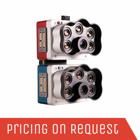
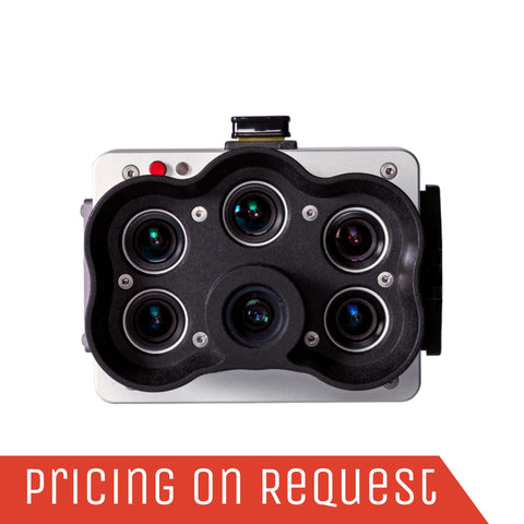
MicaSense Multispectral Sensors Range
Sensor:
- 5 Multispectral bands + Panchromatic + Thermal
- GSD down to 1.2 cm (0.47 in) per pixel at 60 m (200 ft) AGL
Industry:
- Agriculture
- Environmental monitoring
- Forestry
- Land management
- Research and education
- Service providers
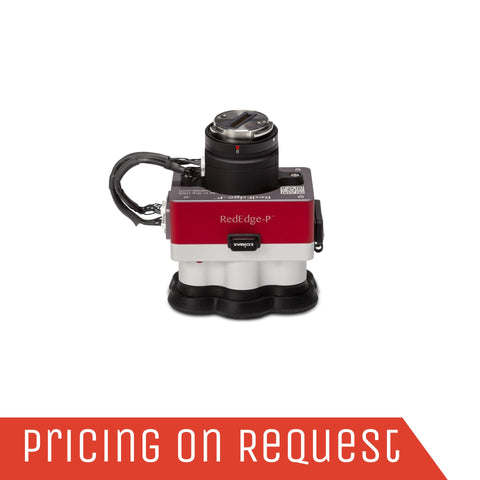
Sensor:
- 5 Multispectral bands + Panchromatic
- GSD down to 2 cm (0.8 in) per pixel at 60 m (200 ft) AGL
Industry:
- Agriculture
- Environmental monitoring
- Forestry
- Land management
- Research and education
- Service providers
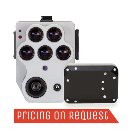
High-resolution multispectral and RGB composite drone sensor with a Coastal blue band. The dual solution features the RedEdge-P and the new RedEdge-P blue cameras.
Sensor:
- 10 Multispectral bands + Panchromatic
- GSD down to 2 cm (0.8in) per pixel at 60 m (200 ft) AGL
Industry:
- Vegetation analysis of water bodies
- Environmental monitoring
- Water management
- Habitat monitoring, protection and restoration
- Vegetation species and weeds identification
Unmatched Operational Efficiency with MicaSense Sensors
MicaSense sensors streamline operations with a one-pass efficiency, collecting and delivering multiple datasets. This capability empowers users to generate visual analytics promptly, facilitating quick and precise actions to preserve yields.
Visual Insights Provided by MicaSense Sensors:
- Chlorophyll Map: Crucial for assessing vigor and health during early plant growth stages.
- NDVI (Normalized Difference Vegetation Index): Widely utilized as a field health reference.
- Digital Surface Model (DSM): Utilized by agronomists, consultants, and researchers to comprehend topographical nuances affecting water retention and runoff.
- RGB Image: Enhanced by a global shutter mechanism, minimizing common rolling distortion seen in drone cameras.
These visuals can be overlaid for precise targeting of corrective measures, resulting in reduced chemical costs and application time. Additionally, the Altum sensor's thermal imaging capability offers detailed temperature differential data across different parts of a field and over time.
Versatile Compatibility Options for MicaSense Sensors
RedEdge and Altum sensors offer versatile compatibility, seamlessly integrating not only with MicaSense Atlas cloud-based analytics but also with a wide spectrum of platforms. As an operator of MicaSense sensors, you possess the freedom to leverage existing software platforms or opt for the one that best aligns with the task at hand or your clients' preferences. The collaborative effort between MicaSense and DJI simplifies analysis through DJI's Pix4Dfields and Pix4Dmapper software, ensuring both ease of use and effectiveness. Additionally, the availability of Skypoint compatibility kits and drone integration kits for MicaSense products further enhances operational efficiency and adaptability.


Get a Quote
Please complete the form below to submit your quote request.