
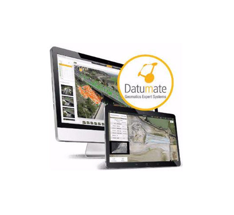
DatuSurvey™ turns drone and camera imagery into accurate, geo-referenced 2D maps and 3D models, saving the need for expensive and risky field work and expediting deliveries. This 3D mapping software features a survey-grade accuracy and an intuitive workflow, designed especially for land surveyors and geospatial professionals. DatuSurvey™ multiple outputs include: Orthophoto, projection on 2D planes, volume calculation, point cloud, 3D texture and mesh model and more.
Datumate Surveying Software Solutions
Photogrammetry Software For Construction and Surveying Professionals


Get a Quote
Please complete the form below to submit your quote request.