
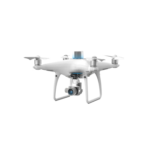
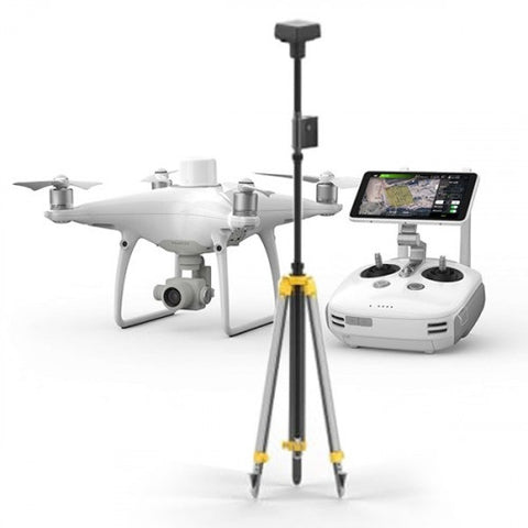
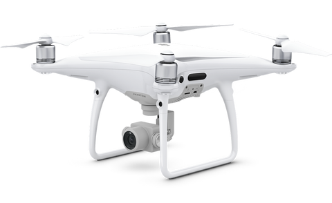
The ultimate industrial commercial drone designed and built for professional surveyors and mappers. DJI's Phantom 4 RTK is the most compact and accurate low altitude mapping solution for surveyors and mappers. Offering a range of control schemes and complimentary technologies, the DJI Phantom 4 RTK is developed to provide survey-grade results with greater efficiency than ever before.
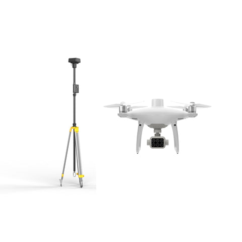
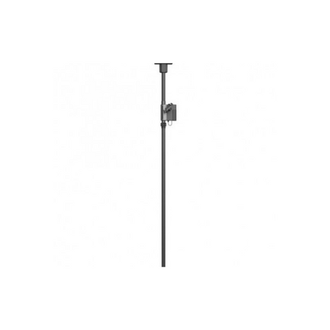
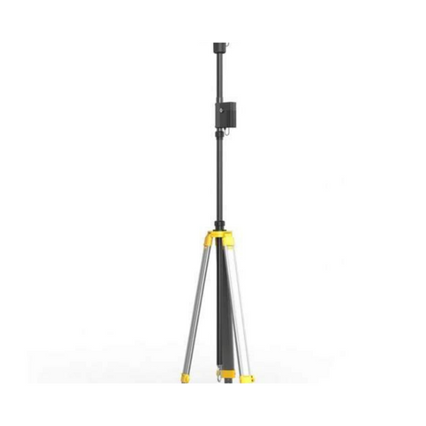
Start mapping today with a built-in flight planning app (GS RTK) and an easy method to collect RTK data (RTK Network or D-RTK 2 Mobile Station), pilots have a full solution for any surveying, mapping or inspection workflow – right out of the box.
DJI has re-thought its drone technology from the ground-up, revolutionizing its systems to achieve a new standard for drone accuracy – offering Phantom 4 RTK customer’s centimetre-accurate data while requiring fewer ground control points.
DJI Phantom Series
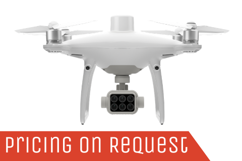
From agriculture to environmental research, the P4 Multispectral Agricultural Drone from DJI can be an invaluable tool in monitoring, understanding, and treating issues related to crop and vegetation health with information that's invisible to the human eye. Utilizing a gimbal with a 6-camera array, this drone can see below the surface. One camera is an RGB camera dedicated to visible light and capturing standard photos, while the other five capture various other wavelengths.


Get a Quote
Please complete the form below to submit your quote request.