Cookies are important to the proper functioning of a site and we use them to help us offer you the best online experience. By using our website and/or clicking OK, you are agreeing to our use of cookies in accordance with our cookies policy. I Agree

YellowScan Fly & Drive

  • Sale
  • Regular price R 0.00
Tax included.

Please CONTACT US if you are interested in this product.


YellowScan Fly & Drive LiDAR System

Fly when you can. Drive when you must.

The YellowScan Fly&Drive is a versatile land vehicle-mounted or UAV-mounted mobile mapping system which combines high resolution laser scanning and precise positioning to collect geo-referenced point clouds for a wide range of applications.

Designed to be easily swapped in minutes from vehicles to UAV.

A multi-platform LiDAR for geospatial survey scanning from air to ground.

Car LiDAR acquisition

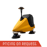
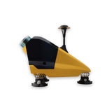
The Fly & Drive car pod can be mounted to any land-vehicles

Easy swap

The swap between car and UAV takes less than 5 minutes

UAV LiDAR acquisition

The bracket allows for a smooth and quick mounting on DJI M600


Key benefits

WHY ?

  • Lightweight and low power consumption. Can be installed on all kinds of UAVs and vehicles.
  • Precision positioning using high end GNSS and IMU coupled system
  • Robust and reliable
  • High frequency laser scanner allowing good productivity without compromising on point density
  • Multi-scope Mobile (Ground) and UAV (airborne) Mapping Systems.

LiDAR unit option

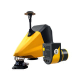
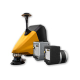
Fly & Drive is a combo that can do mobile mapping & aerial survey using the same LiDAR (Surveyor Ultra).
The setup consists of a car pod, adaptable bracket and GNSS antenna.

YellowScan Surveyor Ultra

YellowScan Surveyor Ultra

The versatile & long range UAV LiDAR solution.

Key Differentiators:
– High point density
– Maximized range
– Fly&Drive ready

Product Demonstration: YellowScan Fly & Drive

The YellowScan Fly & Drive is a versatile land vehicle-mounted or UAV-mounted mobile mapping system which combines high resolution laser scanning and precise positioning to collect geo-referenced point clouds for a wide range of applications.

The system can be rapidly deployed on road and off-road vehicles as well as on all types of UAVs (multicopter, traditional and VTOL fixed-wing), expanding the range of applications and increasing your return on investment, thereby decreasing the system’s payback period.

Related Documents

Get a Quote

Please complete the form below to submit your quote request.