
News RSS
Mechanical Shutters: A Guide for Drone Pilots

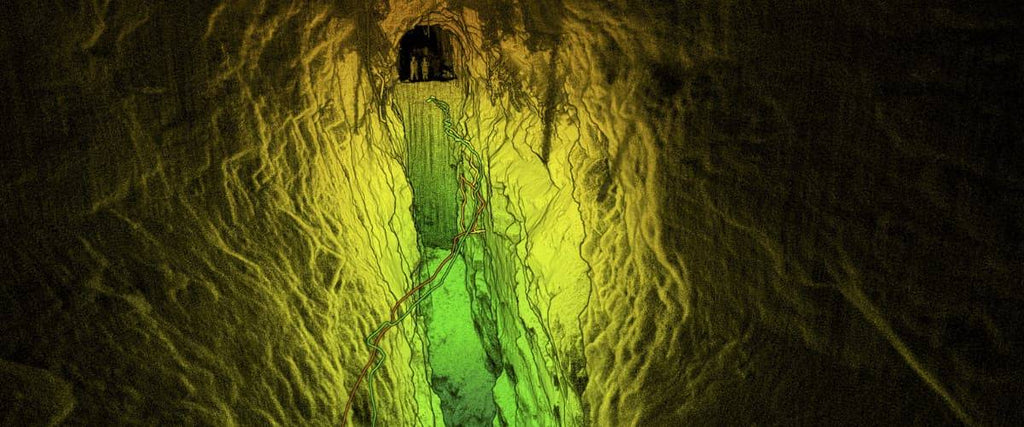
LiDAR vs Photogrammetry for Aerial Surveying

A comparative guide to help you select your surveying sensors LiDAR and Photogrammetry have long been essential tools for professionals in surveying and mapping. However, recent advancements in drone technology have revolutionized the way data is gathered, yielding significant benefits. In contrast to the conventional approach of using manned aircraft for aerial surveying, drones provide a safer, more precise, and cost-effective alternative. This transformation has democratized surveying solutions, extending their utility to diverse sectors such as agriculture, construction, conservation, mining, crash scene reconstruction, and more. These sectors can now access detailed point clouds, accurate maps, and 3D models to enhance...
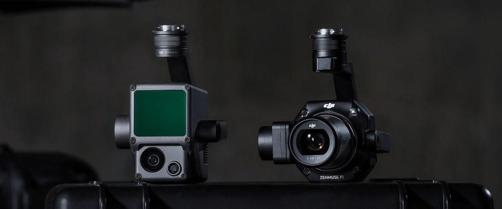
LiDAR Drone Systems: Using LiDAR Equipped UAVs

Everything you need to know about how drone LiDAR is revolutionizing mapping and geospatial data Drones furnished with cameras provide businesses an additional set of airborne eyes, introducing a fresh outlook on ground-level operations. Across diverse sectors such as construction, emergency services, agriculture, and utilities, drones are contributing significant value. The sensor technology integrated into unmanned aerial vehicles (UAVs) is in a constant state of evolution, meaning these vehicles are not limited to capturing ordinary images and videos. Among the latest advancements in UAV payloads, there's a notable integration of increasingly advanced Light Detection and Ranging (LiDAR) systems. Through the...
The Matrice 350 RTK: Exploring Its Top 8 Features


All you need to know about the latest industrial platform from DJI Enterprise If you ask any commercial drone pilot about the ultimate choice for a durable, dependable, and versatile drone, they will recommend the Matrice series. After dominating the commercial drone industry for three years, the Matrice 300 is now receiving a hardware upgrade, resulting in the introduction of the Matrice 350 RTK (M350 RTK). Continue reading to explore the advancements made by DJI's engineers in enhancing this remarkable platform. Below, we present the top 8 features of the Matrice 350 RTK: 1. Durability and weather resistance The DJI...
All you need to know about RTK


What is real-time kinematics and what it means for your drone How accurate is accurate enough? If you’re like most land surveyors, the answer is “as much as possible.” With an RTK drone, surveyors and other kinds of enterprise drone pilots can expect centimeter-level positioning accuracy with each flight. The system represents a marked improvement from satellite data on its own and can help ensure you have the accurate information you need to get the job done. What is RTK? Real Time Kinematics, or RTK for short, is a special technique for satellite positioning that can produce accurate results to...