Cookies are important to the proper functioning of a site and we use them to help us offer you the best online experience. By using our website and/or clicking OK, you are agreeing to our use of cookies in accordance with our cookies policy. I Agree
DJI Agras T40, DJI Mavic 3 Mutispectral, Micasense Rededge

Precision Agriculture & Farming Drones

Welcome to our Precision Agriculture and Farming Collection – your gateway to unparalleled farming solutions powered by DJI Enterprise and AgEagle Micasense. Our cutting-edge agriculture drones and are tailored to meet your precision farming requirements.

Agronomists, agricultural engineers, researchers, service providers, and farmers alike harness the potential of drone-captured data to gain profound insights into their crops. Whether it's RGB or multispectral data, these drone-captured datasets boast higher spatial and temporal resolutions compared to satellite imagery. And, remarkably, this technology comes at a fraction of the cost of traditional manned-aircraft flights.

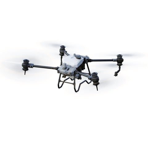
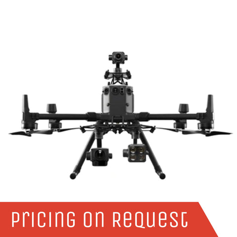
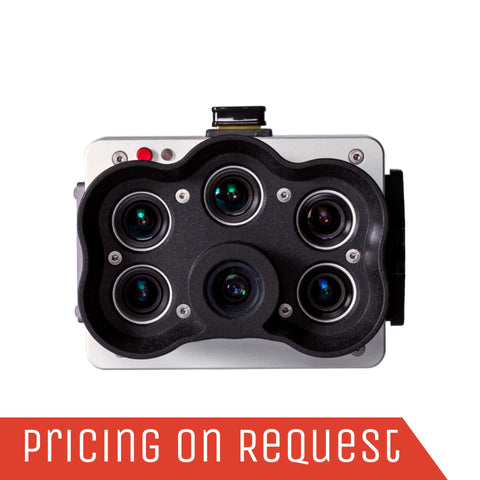
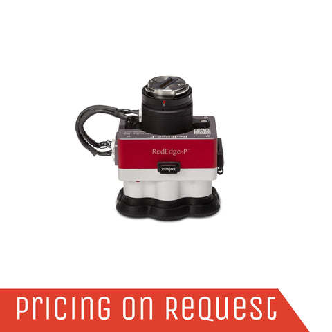
Precision agriculture, a transformative farming management approach, harnesses specialized across a diverse array of DJI drones and Micasense Multispectral Drone Sensors. These instruments enable the measurement, observation, and responsive management of crop variability. From crop health mapping and phenotyping to water stress analysis, leak scouting, fertilizer management, zone mapping, and disease identification, our drones revolutionize how you interact with your fields.

DJI Agriculture not only equips agricultural professionals with robust machinery but also introduces intelligent solutions that amplify efficiency, conserving time and augmenting workflows. This comprehensive advancement spans across a broad spectrum of customers, encompassing farmers, growers, agricultural cooperatives, and service agencies. Embark on a journey of innovation and productivity with our exceptional precision agriculture offerings.

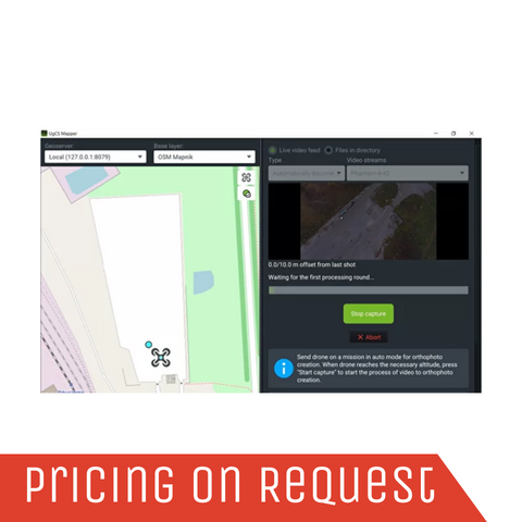
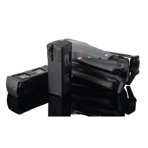
GoUAV supports precision farming workflows with DJI Mavic 3M Multispectral Drones, MicaSense Multispectral Drone Sensors, Drone Cameras and UAV Payloads, and advanced Drone Software Solutions for crop mapping, vegetation analysis and field-level decision-making.

Multispectral Drones and Sensors

AgEagle MicaSense Multispectral Drone Sensors

AgEagle MicaSense Multispectral Drone Sensors – a pivotal addition that elevates the capabilities of our offerings. This collaboration brings an added layer of expertise and innovation, enhancing the accuracy and depth of insights gained from your drone-captured data. The MicaSense Altum-PT and RedEdge-P Multispectral Drone Sensors can be mounted on the DJI Matrice 300 RTK and DJI Matrice 350 RTK. With these sensors farmers are able to evaluate their crops at scale while simultaneously creating crop maps that help them manage crops and time better. Aerial thermal imaging has also become an important tool for crop management. It is a non-invasive way to monitor nurseries and greenhouses and even detect plant diseases.

For advanced multispectral and thermal crop analysis, compare the EagleNXT Altum-PT Multispectral & Thermal Drone Sensor, MicaSense RedEdge-P Camera Sensor Kit, and MicaSense RedEdge-P SkyPort Kit for DJI-compatible agricultural mapping workflows.

DJI Mavic 3 Multispectral Drone

The DJI Mavic 3 Multispectral is a transformative tool for precision agriculture. With a dual-sight approach, combining an RGB camera and multispectral camera, crop growth analysis reaches unprecedented clarity. This compact drone packs five cameras, including a 20MP 4/3 CMOS RGB camera and four 5MP multispectral cameras (green, red, red edge, and near-infrared), with a rapid 0.7-second mechanical shutter speed and an exceptional 43-minute flight time. From extensive 200-hectare mapping missions to accurate irradiance readings via its built-in Sunlight Sensor, and the centimeter-level data precision delivered by the RTK module – the Mavic 3M is the epitome of precision in agriculture.

The DJI Mavic 3M Multispectral Drone is ideal for compact crop scouting, vegetation index mapping and precision agriculture workflows. For larger payload-based operations, explore the DJI Matrice 400 or DJI Matrice 4 Series.

Crop Spraying Drones

DJI Agras T40 Agricultural Drone

The DJI AGRAS T40 agricultural drone showcases a revolutionary Coaxial Twin Rotor design, enabling it to effortlessly carry a 40 kg spray load and a 50 kg spread load (70 L). This drone comes equipped with a Dual Atomized Spraying System, DJI Terra, Active Phased Array Radar, and Binocular Vision, creating a robust ecosystem. These features synergize to facilitate various functions such as surveying, mapping, precision spraying, and efficient spreading, ensuring unmatched accuracy for every agricultural undertaking you embark upon.

For crop spraying, spreading and prescription-map workflows, explore the DJI Agras T40, DJI Terra, and UgCS Mapper for agricultural mapping and field planning.


Benefits of Agricultural Drone Technology

  • Enhance Yield – Enhance crop yield by closely monitoring crop health and promptly addressing issues like diseases and plant stress. Early detection, treatment, and mitigation strategies maximize yield potential.

  • Optimize Costs – Efficiently manage agricultural inputs such as fertilizers and pesticides by applying them precisely where needed, leading to cost savings.

  • Comprehensive Seasonal Insights – Gain valuable insights throughout each growth stage, extending from pre-planting to post-harvest assessments.

  • Precision at Leaf Level – Leverage high-resolution RGB and pan-sharpened multispectral imagery for meticulous data, enabling precise plant-level monitoring and analyses.

  • Refined Planning – Strategically plan irrigation and drainage well before the growing season and continuously evaluate their effectiveness.

  • Real-time Field Data – Drones offer a cost-effective means of routinely collecting field data, ensuring high temporal resolution for tracking changes and conducting detailed comparisons across various growth stages and seasons.

These benefits are supported by accurate aerial data capture, multispectral imaging and mapping software. Explore MicaSense Multispectral Drone Sensors, DJI Terra, and Drone Software Solutions for repeatable crop monitoring and seasonal field analysis.


DJI Mavic 3M Crop scanning

Precision Agriculture and Farming Drone Applications

Professionals spanning environmental engineers, researchers, and conservationists are shifting towards drones as a replacement for slower terrestrial surveying tools, satellite imagery with lower resolutions, and costly – at times elusive – manned aircraft services. Below, we present instances highlighting the diverse applications of drone-derived data.

  • Yield Forecasting – Evaluate growth, soil conditions, and precipitation patterns to make real-time yield predictions.
  • Crop Vigilance – Map and continuously monitor crop health, assessing growth stages, and promptly identifying diseases and deficiencies.
  • Precision Inputs – Optimize the management of crop essentials like fertilizers and pesticides, minimizing expenses and ecological impact while safeguarding yield.
  • Water Resource Management – Maintain oversight over water utilization, making informed drainage and irrigation plans for optimal crop health.
  • Accurate Plant Counts – From emergence to harvest, conduct comprehensive crop stand assessments and precise plant counting.
  • Damage Evaluation – Swiftly gauge the impact of damage due to factors like hail, disease, or fire, aiding in cost estimation and insurance claims.
  • Advanced Research – Accelerate data collection for intricate crop analyses, ensuring consistent and highly accurate outcomes.

For crop health mapping, water stress analysis, environmental monitoring and vegetation research, explore GoUAV’s Natural Resource Management, MicaSense Multispectral Drone Sensors, and EagleNXT Altum-PT Multispectral & Thermal Drone Sensor solutions.


Precision Agriculture and Farming Drone Solutions

Grain Crops

Experience a new era in agriculture with our cutting-edge solutions, offering digital, informative, and intelligent field management for essential grain crops including rice, wheat, and corn. This empowerment equips agricultural operators with enhanced efficiency, convenience, and precision, resulting in reduced operational costs, elevated crop quality, and amplified yield rates.

For grain crop monitoring, variable-rate planning and field-level crop analysis, pair DJI Mavic 3M Multispectral Drones with DJI Terra for mapping and data processing.

DJI Agras T40
DJI Agras T40

Commercial Crops

Furthermore, we extend our expertise to offer digital, informative, and intelligent management solutions tailored for commercial crops, including cotton, citrus trees, apple trees, and tea plants. Similar to our grain crop solutions, agricultural operators will discover enhanced convenience, cost-effectiveness, and tangible benefits for optimizing crop quality and yield rates.

For orchards, vineyards, citrus, cotton and high-value crop monitoring, compare MicaSense RedEdge-P, EagleNXT Altum-PT, and Natural Resource Management drone workflows.

Get a Quote

Please complete the form below to submit your quote request.